MUST Library collects 3,000 historical maps from around the world
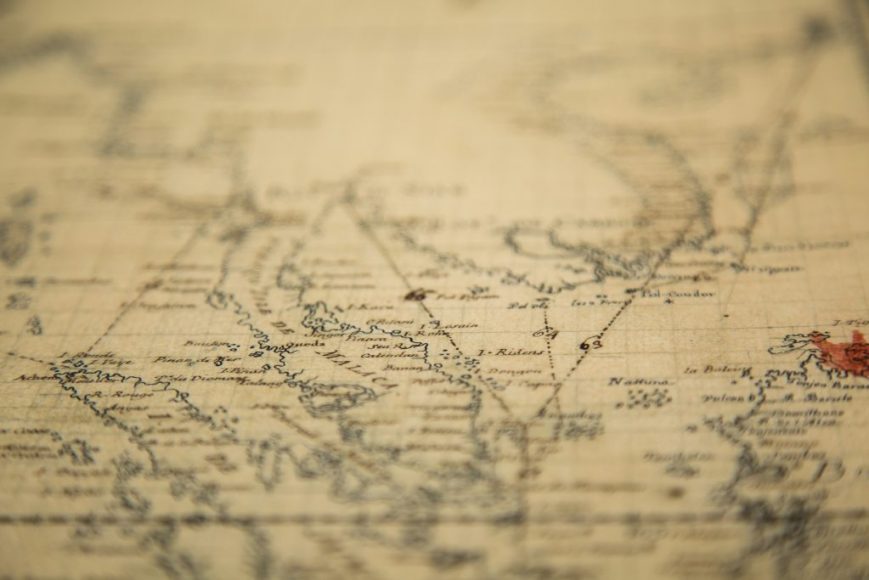
The Macau University of Science and Technology (MUST) Library has assembled a remarkable collection of 3,000 historical maps from around the world, the largest such collection in China.
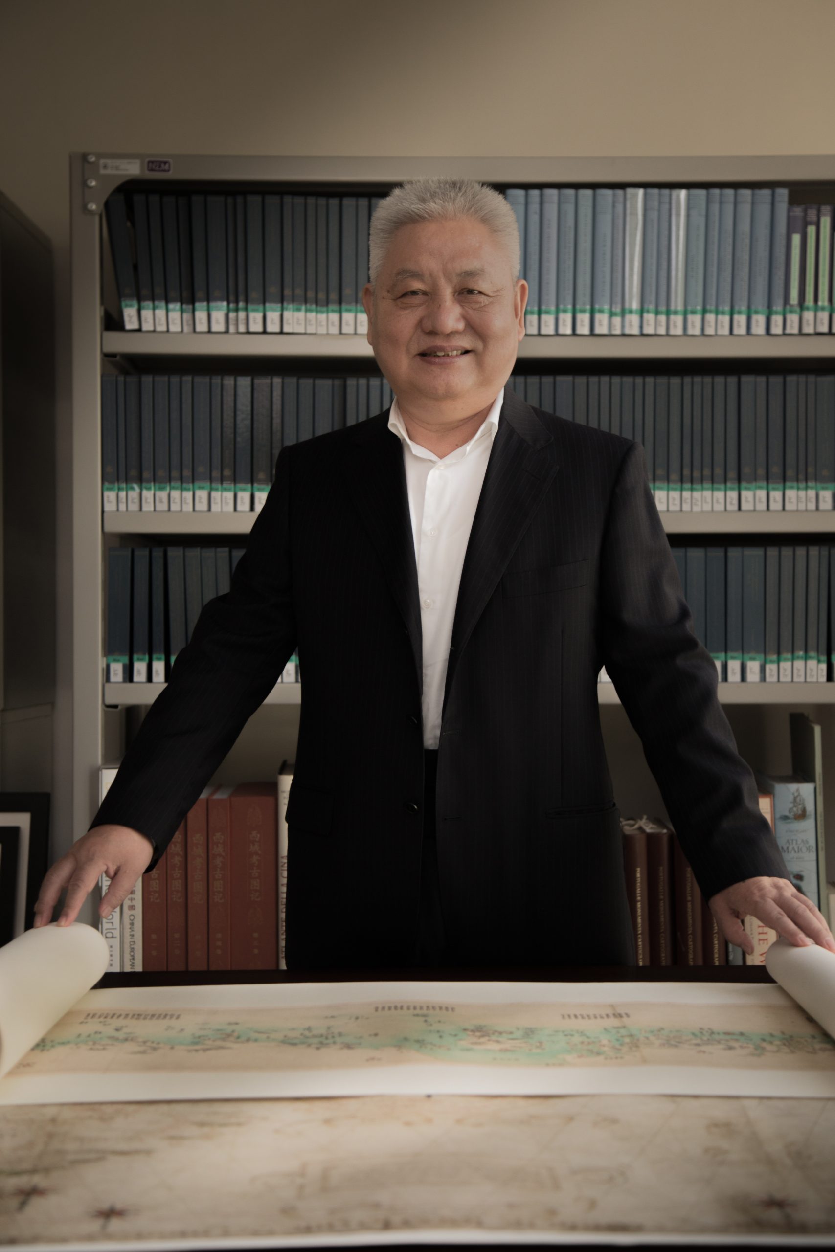
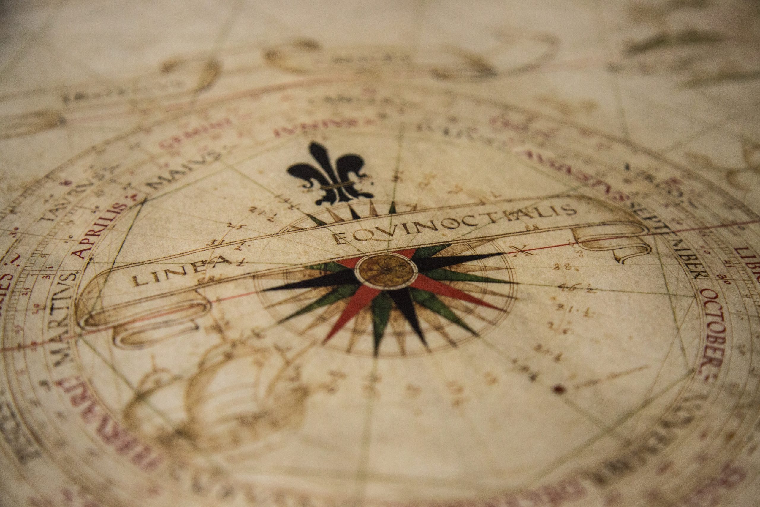
Brought together as part of the long-term research endeavour Global Mapping of Macao (GMoM), many of the maps originate from collections held by the libraries of Harvard and Stanford universities, the Library of Congress, Vatican Apostolic Library, Bibliothèque Nationale de France, and other Western institutions. Others come from the East; the National Library in Beijing, for example, recently contributed 28 maps from the Ming and Qing dynasties to the project. Most of the maps are high-quality reproductions that appear identical to the originals when viewed with the naked eye.
The collection covers the better part of a millennia: the earliest pieces, a collection of three rubbings of the earliest stone maps, date from 1136. Much of the collection, however, focuses on Macao and China, beginning in the 16th century with the arrival of Portuguese explorers. Professor Dai Longji, the MUST librarian and man behind the project, explained:
“Our aim is to build a special collection of Macao Studies, in both physical and digital forms. We want to help scholars use maps and advance research on Macao from the point of view of world history. We also wish to support public education, especially the interest of young people in knowing the history of Macao and China.”
The late 2016 launch of an online database of the maps, open to the public, attracted interest from scholars around the world. To further cultivate interest in both the project and the field of study, GMoM has published map albums and organised exhibitions and seminars, both at home and abroad.
A long time in the making
Dai began his career as a librarian at the prestigious Peking University in Beijing. He first came to the institution as a student, having won a place there in the 1977 national university entrance exam, the first since the start of the Cultural Revolution (1966–76). After graduation, Dai took a position as a teacher at the institution before moving to the library, where he served as executive deputy librarian. He moved to his current job at MUST in 2009, two years after retiring from his post at Peking University.
During his tenure in Beijing, he worked with foreign universities, including Harvard University, whose library now has a collection of more than 500,000 maps, including over 2,000 titles on China. He discovered that these maps were widely used in scholarly research because they contained a great deal of information about places as well as illustrating the perception of them at the time. “They provide information that you cannot find in words,” Dai said.
Dai thought to create a similar collection at Peking University, making initial contacts with Stanford and the University of California-Berkeley, but found that maps were less widely used in the mainland, in part because access to them is often restricted for security reasons, particularly if they involve border regions.
Macao proved more accommodating. In 2013, four years after Dai moved to MUST, he and his team began the work of amassing a collection of maps depicting Macao’s place in global history over centuries.
Finding Macao
In the first year, Dai raised MOP1.5 million (US$189,661) from three sponsors: the Macao Foundation provided MOP1 million (US$124,440) for the project; the Tertiary Education Services Office sponsored an international symposium; and the MUST Foundation sponsored the start-up and the team’s first trip to Harvard.
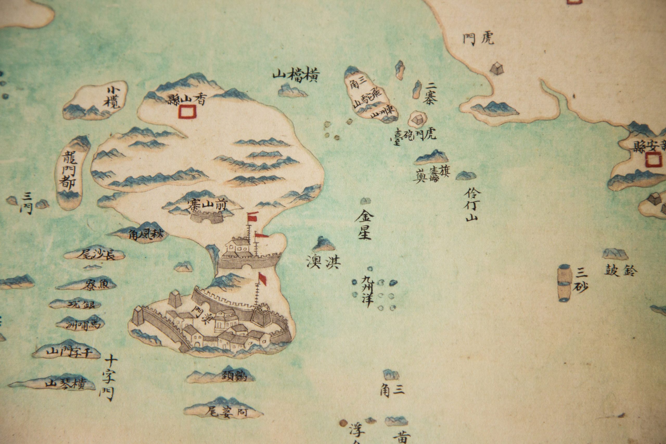
“Our original plan was to take Macao as the key point of the maps, but we discovered that this was not enough to understand the whole story,” Dai said. “We broadened the scope to include China, East Asia, and even world maps. In their early maps, Westerners discovered the Far East through Macao.”
They also decided that copies, not original maps, were better suited to the project goals. “Originals are hard to collect, more expensive and not so easy to use,” he explained. “Our aim is to make the material useful for research and educational purposes. The quality of the scans is very high.” By printing the high-resolution scans on paper specially selected to mimic the texture of the original document, the copies – whether small sheets or scrolls more than 10 metres long – are virtually indistinguishable from the originals.
The task of assembling the collection mainly fell to Dai’s assistant, Yang Xunling. “It needs a lot of hard work. We selected the maps from seeing over 10,000 maps,” Yang said. “We searched the maps through online catalogues or on-site card catalogues, then requested to see the maps to choose. Some items were not even catalogued. In some particular libraries, normally one scholar can only request a maximum of five manuscripts per day, so that you need to do a lot of preparation, communication and negotiation before going there.”
Yang’s inquiries focused on Western maps of Macao and China between 1500 and 1900 that showed exchanges between East and West, including the Maritime and Land Silks Roads, the Portuguese possessions in Asia, and the sea routes from Macao to Malacca, Goa, Nagasaki, Acapulco, Manila, and so on.
Yang spent weeks in libraries in the United States, France, and Vatican City. The average price of a copy was about US$50 in the United States and EUR60 (US$71) in Europe. “The price is set according to the licence of what we use the copies for. Ours is for scholarly research, with open access on the internet. If it were for commercial use, then the price would be several times higher.”
In the four years since the project began, MOP5 million (US$622,200) has been spent to cover everything from the cost of purchasing, scanning, and copying maps, to translators and travel expenses for Yang and his colleagues, to the seminars, exhibitions, and publications used to promote and enhance the project. Dai and his team plan to continue in the future. There are many countries they have not visited, such as Britain, Holland, Spain, and Japan, all of which have material relevant to the collection. The future of the project depends on how much their sponsors are willing to provide.
Engaging at every level
Asked to assess the success of the project thus far, Dai described the response from Wu Zhiliang, president of the Administrative Committee of Macao Foundation, at the opening ceremony for the collection:
“He had not prepared a speech at the opening. But, later on, he said spontaneously that our symposium was one of the most valuable scholarly conferences he had seen in Macao and this map collection will be of great benefit and important to the research of Macao, to acquire our collection has required a great deal of hard work.”
Recognition by scholars outside Macao is another mark of the success of the project. The open online database Global Mapping of Macao has received many inquiries from universities in the United States, Taiwan, and mainland China since it launched in late 2016. “The professors from the Center for Historical Geographical Studies of Fudan University in Shanghai, considered the number one in the mainland, told us that our collection was better than theirs,” Dai noted.
Publications provide another platform for GMoM and MUST to share the collection with the wider world. It published its 2014 map album yearbook, Sailing to the East: Global Mapping of Macao, in 2015. The yearbook won second prize in the monograph category of the 4th Outstanding Achievement Awards for Macao Research in Humanities and Social Sciences later that year.
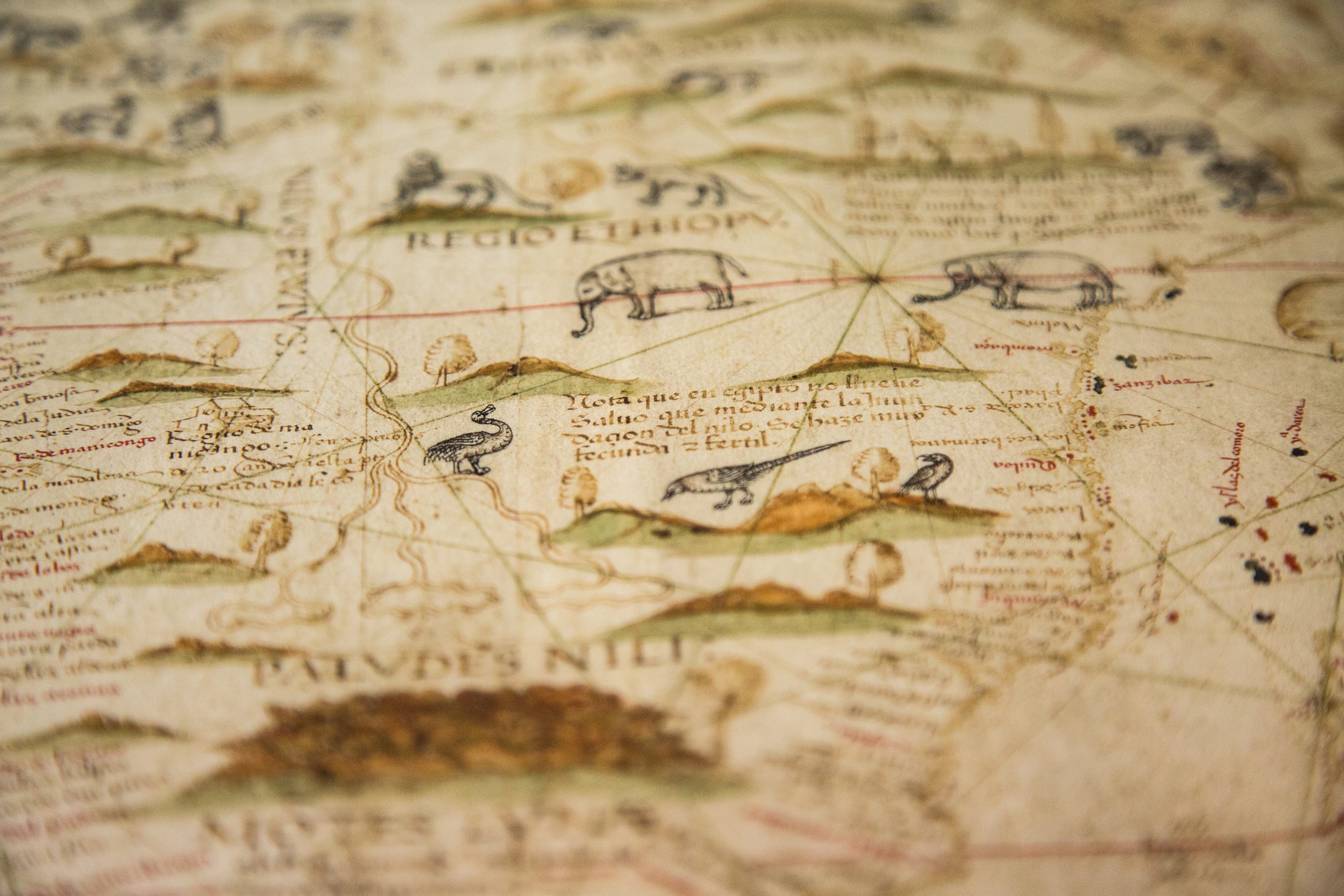
It organised Pearls in Paradise: Exhibition of Precious Maps and Archives from the Vatican Apostolic Library, held 29 July–30 August 2015 at MUST. The exhibition presented about 100 antique maps and manuscripts from the Vatican collection, including a rare early Portuguese map and the oldest known star map in Chinese, a vividly coloured 5 metre-long piece.
Pearls in Paradise was part of the 2nd International Symposium: Global Mapping of Macao, which gathered together scholars and experts on the history of Chinese-Western cultural exchanges, antique maps and literature to discuss a number of topics central to the project. The first international symposium was held at MUST in May 2014, with some preparations made during the team’s 2013 visit to Harvard. Dai and Yang also presented papers at the China/Macau: Cartography, Circulation, Description symposium in Lisbon in October 2016.
While many of the events organised around the project focus on engaging the academic community, MUST and the GMoM team maintain a goal of cultivating public interest as well. Between 7 November 2015 and 31 January 2016, more than 10,000 people attended an exhibition of antique maps from the collection.
Visitors enjoyed nearly 40 maps illustrating the transformation of Macao, and its role as a global hub, dating as far back as the 13th century. Displayed at the Sir Robert Ho Tung Library, the exhibition celebrated the 120th anniversary of Macao Central Library and the 10th anniversary of the inscription of the Historic Centre of Macao on the UNESCO World Heritage List.
Explore for yourself
Those interested in experiencing these historical maps in person can visit the map reading room N210 in MUST Library. There are 500 maps and 1,000 items of reference material available for viewing. The pieces span from the 15th century into the 20th century, in a multitude of languages, including Latin, Portuguese, Italian, Dutch, English, French, Spanish, and Catalan. Whatever the language, the collection amassed by Dai and his team at MUST offers an incredible visual history of this small, but pivotal territory.
