Evolved from what was once a favoured waterway and port for foreign trade during the Qing dynasty, today it is Macao’s famous Cotai Strip.
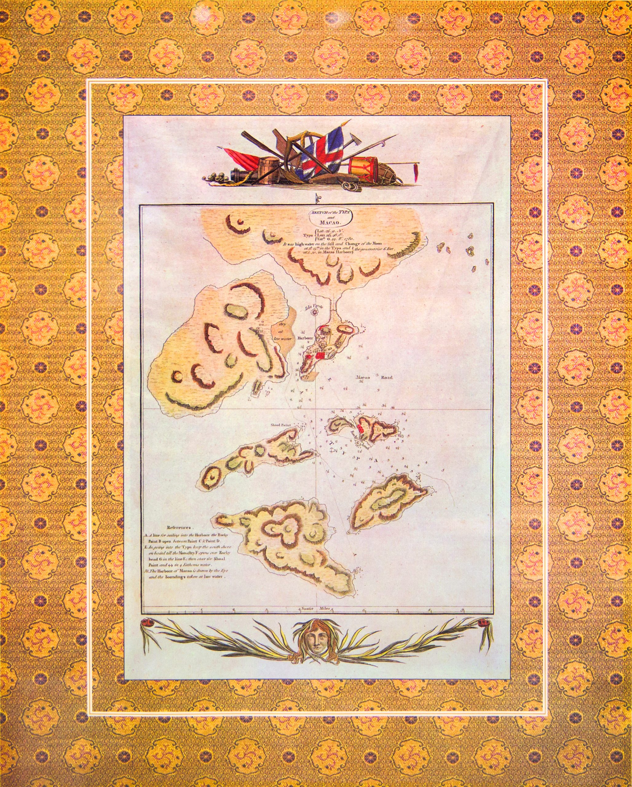
Visitors to the Cotai Strip today see a row of luxury hotels and casinos, resembling the famous strip in the American gambling mecca of Las Vegas. Little do they know that the ground beneath their feet was once sea, an anchorage that played an important role in the history of Macao and its part in the Maritime Silk Road.
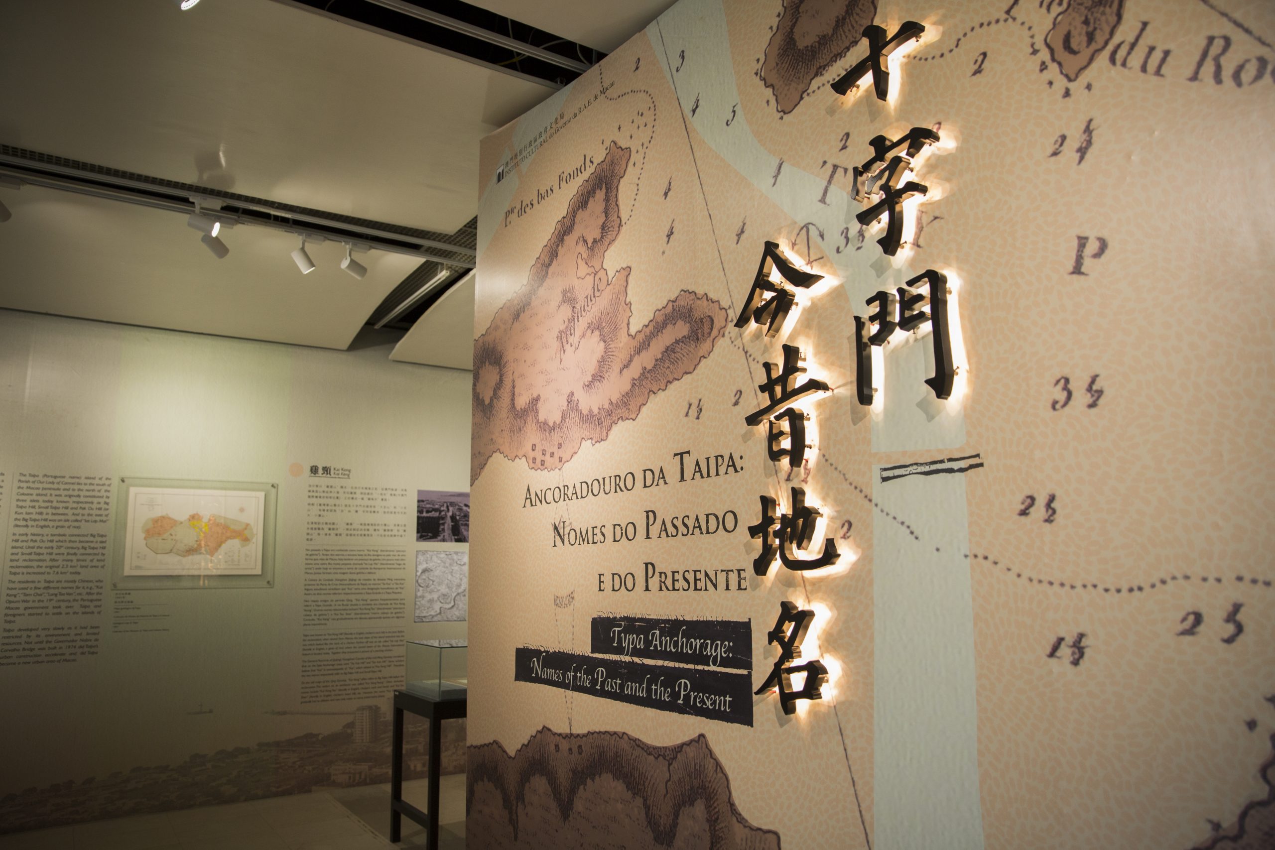
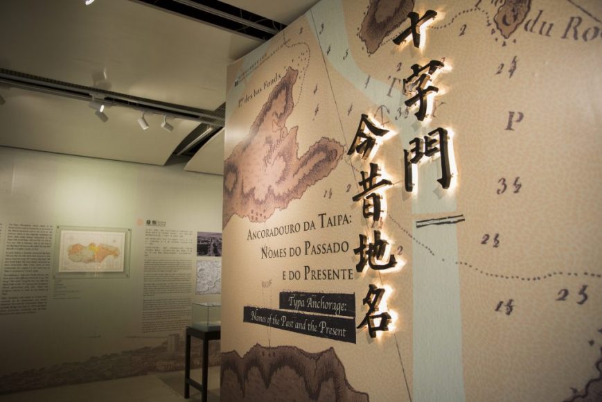
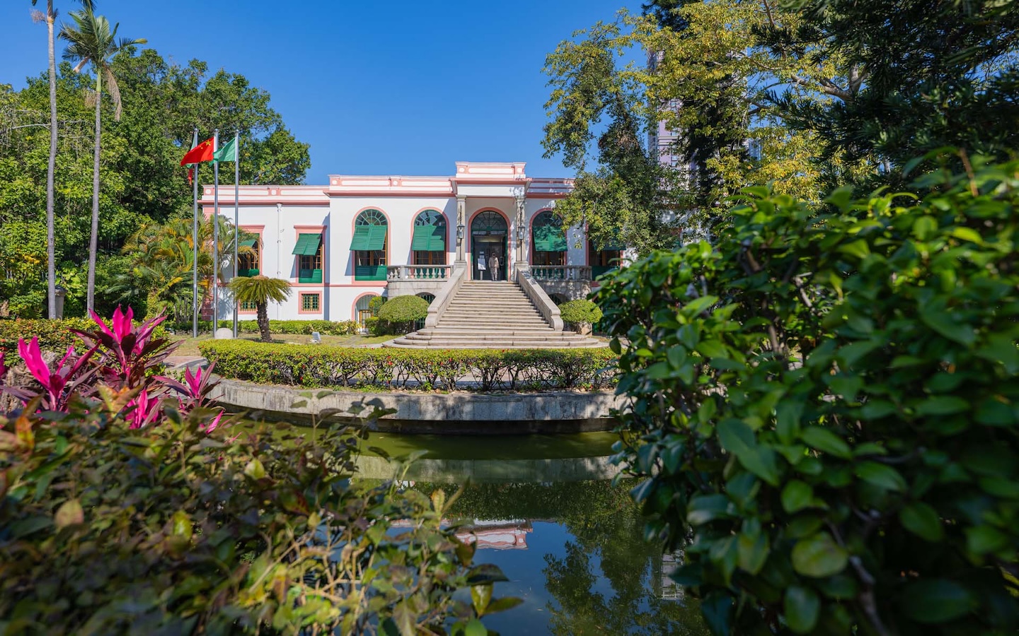
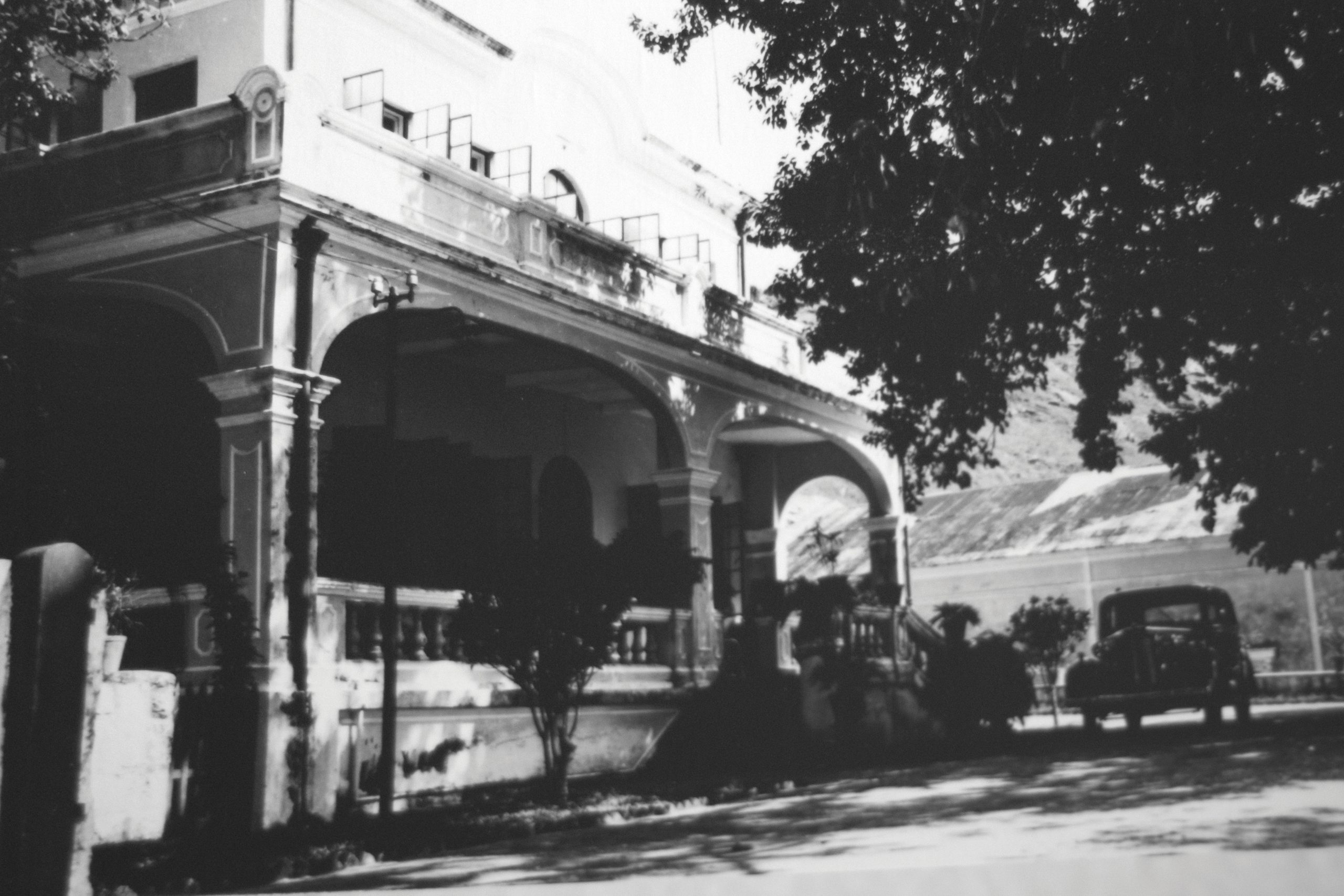
This fascinating history of trade and transformation with the exhibition “Typa Anchorage: Names of the Past and Present,” was held between 20 April‑18 June at the Nostalgic House of Taipa Houses‑Museum. The aptly‑named museum encompasses five historic houses that served as the residences of senior Portuguese civil servants for nearly a century after their construction in 1921.
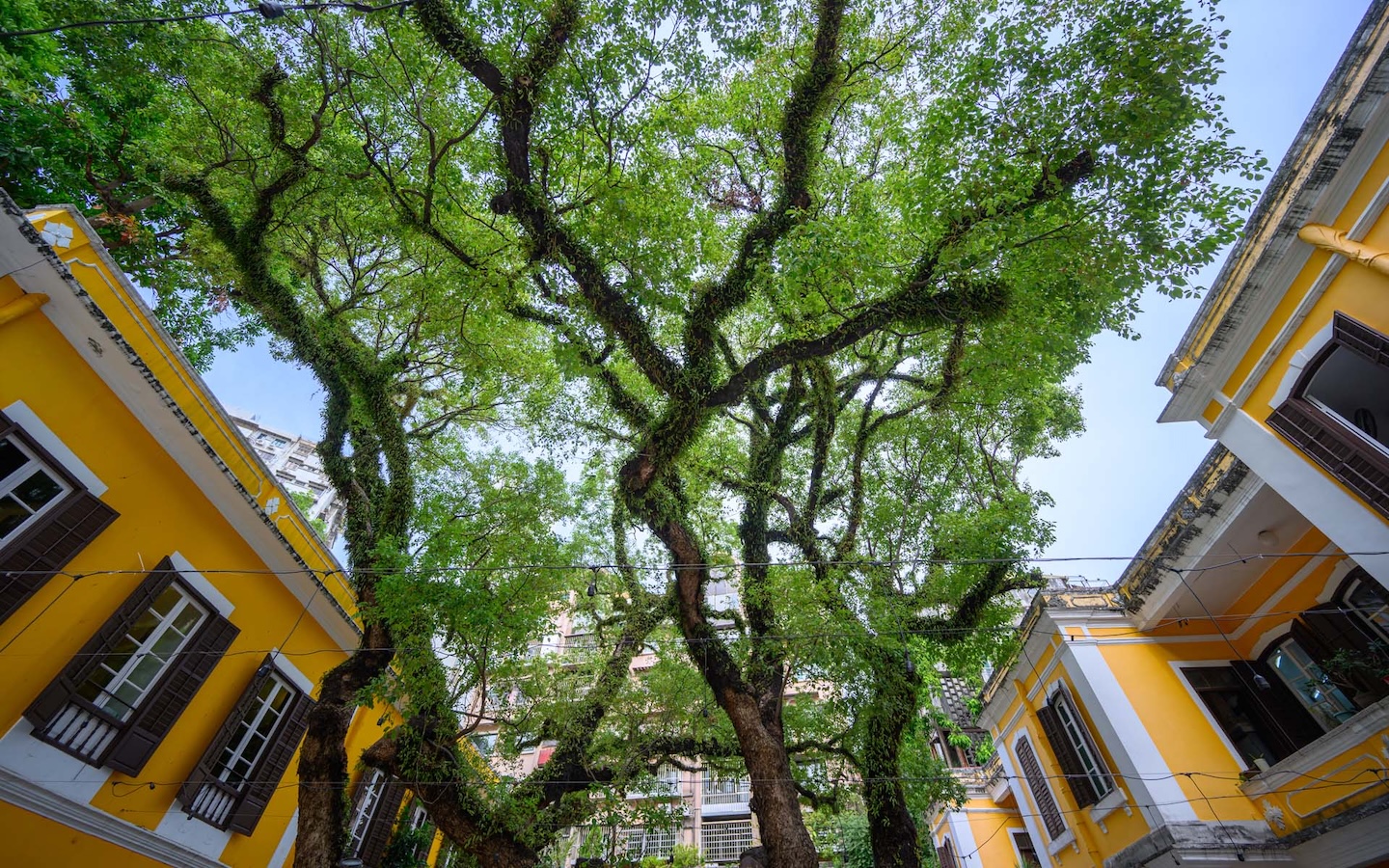
At the end of 1999, the government turned the houses into a museum site open to the public under the name Taipa Houses‑Museum. Located on Avenida da Praia, next to the Our Lady of Carmel Church and a garden, the houses overlook a wetland with lotus flowers. Together, they constitute one of the prettiest landscapes in Macao.
The houses also sit right next to what used to be the Typa Anchorage – ‘Taipa’ in Portuguese – an area where hundreds of foreign merchant ships once docked. The exhibition introduced visitors to the land through the place names of the past and present, and historical stories which took place there.


Alternative anchorage
The Taipa that exists today was created by extensive landfill that joined three small, adjacent islands and later, the separate island of Coloane. The waters around what is now Taipa, Coloane, and the neighbouring island of Hengqin – part of Zhuhai – were known as Sap Chi Mun, the ‘cross gate.’ This was Typa Anchorage, a large waterway where Western ships could berth or through which they could enter the Pearl River estuary.
The Portuguese established the city of Macao as a trading port in the mid‑16th century. Its location made the city an important trans‑shipment point for the import and export of goods from China.
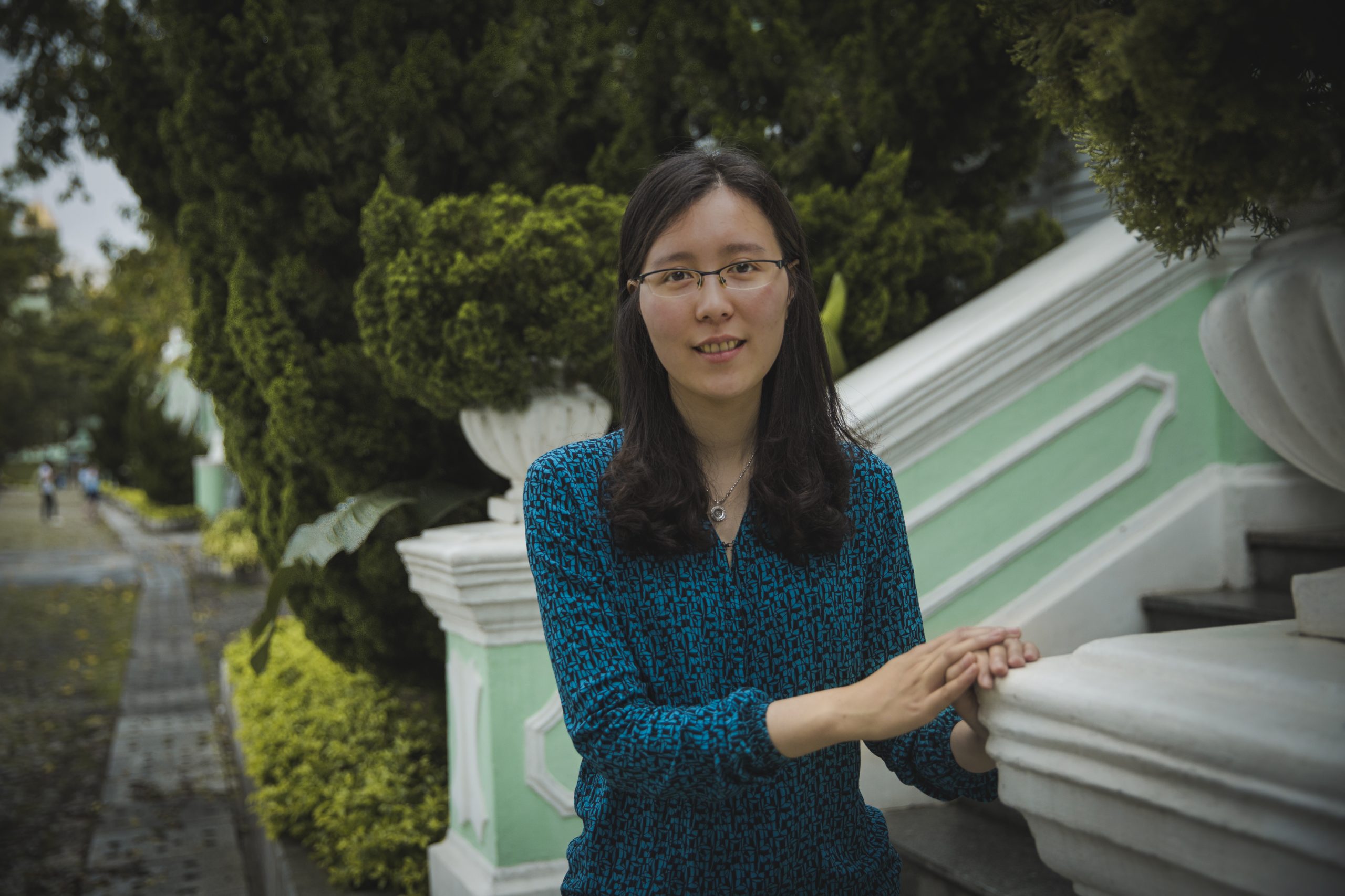
“The main port of Macao was the Inner Harbour,” said Sio Kit Meng, the exhibition curator and staff in the Department of Museums of the Cultural Affairs Bureau. “But only ships from Portugal and Spain, and other Catholic countries were allowed to dock there. In the 17th century, ships from other nations, like Holland and Britain, came here to trade, but the Portuguese would try to stop them from coming into the Inner Harbour.”
Instead, they docked in the Typa Anchorage to the south. This was not under the control of the Portuguese but of the ruling Qing dynasty (1644–1911). “It was a very safe place, suitable for cargo ships, with deep water. If the ships wanted to go to Guangzhou, they would register with Qing officials in Macao. The officials then sent staff to guide them up the Pearl River to Guangzhou,” she explained, emphasising the importance of the channel as a gateway to the interior for those unable to access the Inner Harbour.
A changing landscape
Taipa Island originally consisted of three small islets, known today as Big Taipa Hill, Small Taipa Hill, and Pak Ou Hill. The Chinese residents were farmers and fishermen who drew from their everyday experiences when inventing names for the places where they lived. One of these names was Kai Keng (雞頸), or ‘chicken’s neck,’ reflecting how the east slope of the island stretched into the sea in a way that resembled the neck of a chicken. Or Iat Lap Mai (一粒米), which means ‘a grain of rice,’ for a small islet east of Big Taipa Hill. That same ‘grain of rice’ is now home to the control tower of the Macau International Airport.
It was after the First Opium War (1839–42) between China and Britain that the Portuguese began to expand their control outside the urban area of the Macao Peninsula. Foreigners began to settle in the islands of Taipa.
As a result of the war, the British took control of the island of Hong Kong, and with it, the best deep‑water harbour on the southeast coast of China. Macao quickly lost its monopoly of China’s foreign trade. Ships and companies moved from there to Hong Kong, preferring the better facilities and stability of British control and their legal system. It was a serious blow to the economy of Macao.
In the 20th century, the whole of Taipa became a civil parish, named for Our Lady of Carmel Church. The five residences that would become the Taipa Houses‑Museum were built during this period.
Reclaiming Coloane and Hengqin
Coloane was once Kuo Lo Van (過路灣), which means ‘the bay of the cross roads’, a name later adopted by the Portuguese. The western coast of the island was known as Im Chou Van, or the ‘bay for harvesting salt,’ for its large reserves of salt which local people collected and sold to the citizens of Macao.
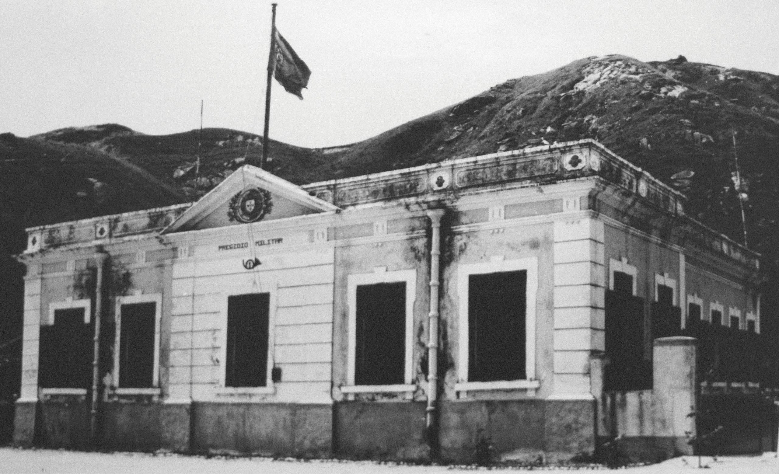
“Many pirates were operating out of [Coloane]. In 1910, the Portuguese attacked and defeated them and took over the island, which they made part of Macao,” Sio added. It later became the Parish of St Francis Xavier.
To the west of Taipa and Coloane were two islands known collectively as Hengqin, which means ‘horizontal zither.’ Fishermen chose the name to describe what they saw from their vessels, the two islands – Dahengqin and Xiaohengqin – recalling the traditional musical instrument.
Later, the sea between the two islands was filled in and Hengqin became a single island and part of Zhuhai. Now, it is a special economic district and home to several major projects, including the marine theme park Chimelong Ocean Kingdom and the new University of Macau campus. The campus encompasses more than 80 buildings on about 1.1 square kilometres of land and is under the jurisdiction of the Macao government.
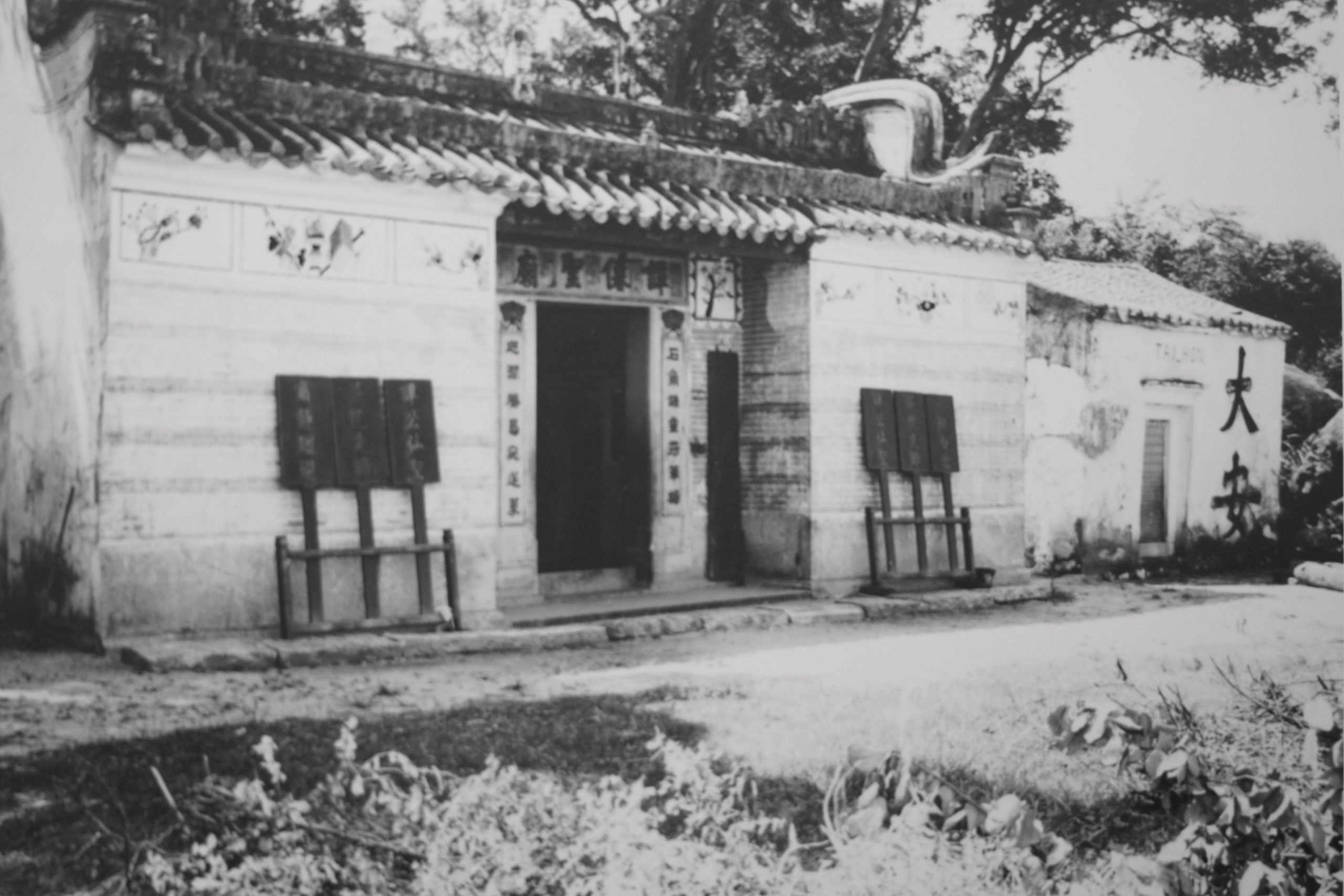
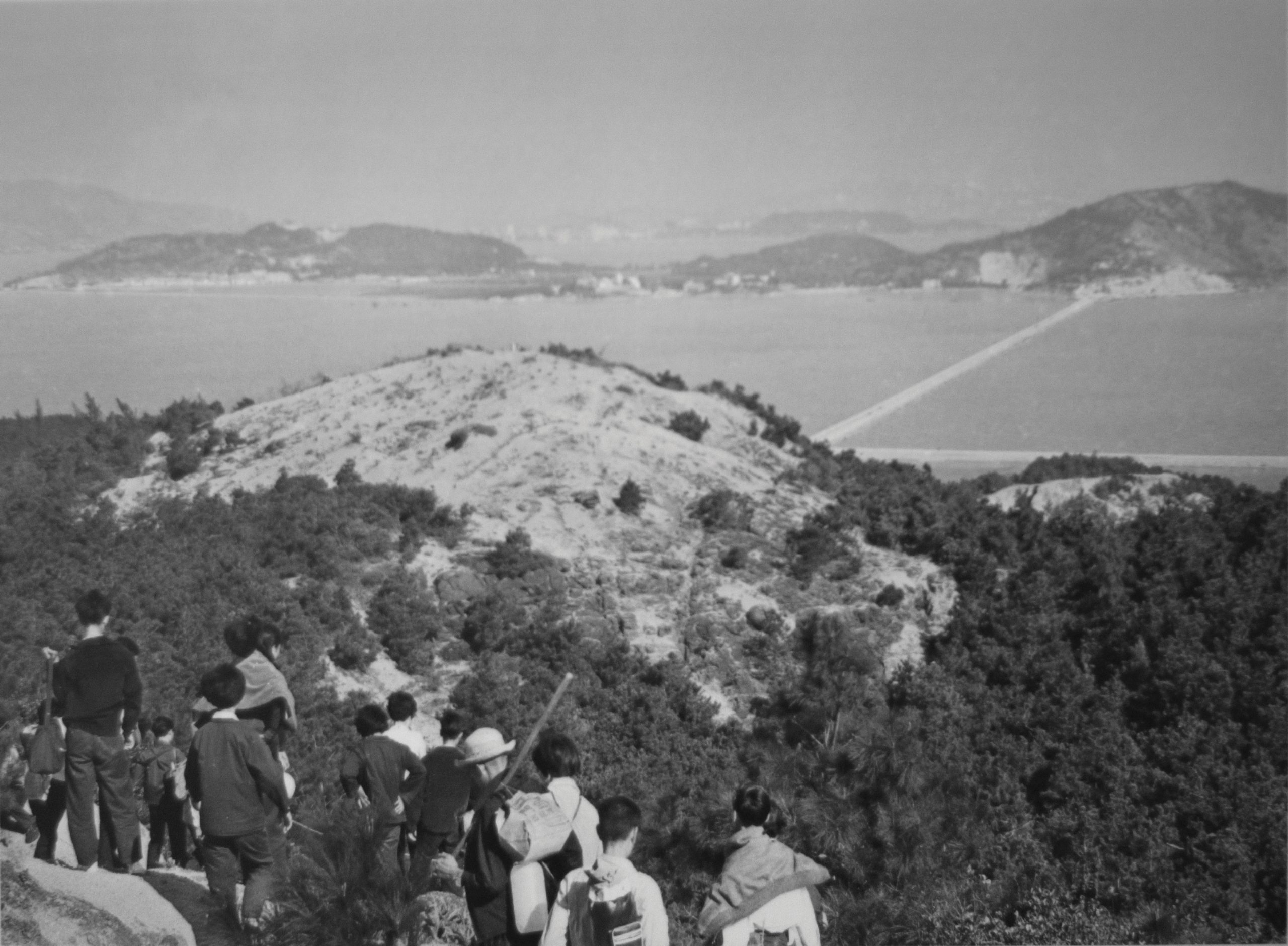
of the Islands | Photo by António Sanmarful
Charting Macao
The exhibition includes a Chinese translation of the China Sea Directory, a work so pivotal that scholars consider it part of the knowledge base of civilisation as we know it. Originally published by the United Kingdom Hydrographic Department, the Chinese translation was done in 1874, during the Qing dynasty. It was one of many Western books, especially on scientific and technical matters, which the government commissioned in an effort to narrow the wide gap between China and the West.
“It was a remarkable piece of research, covering the whole of China’s coastline,” Sio explained. “Each British ship that went to China did research and recorded it. The British did more research on the coast of China than the Chinese.” Where the British maps were detailed and precise, Chinese maps of the period were relatively primitive, showing only a rough outline of the geographic features.
The exhibition also delves deeper into the different place names in the area around Typa Anchorage, providing detailed descriptions that offer insight into the geography and cultural environment of the period.
Today, these names are little more than a memory, existing only on old maps and in museums. So much has changed: the sea between Taipa and Coloane was filled in; as well as the eastern area of Taipa, creating the Cotai Strip that visitors see today. It is a future, a landscape, that none of the farmers and fishermen who once lived on the islands could have imagined.
